GIS Map
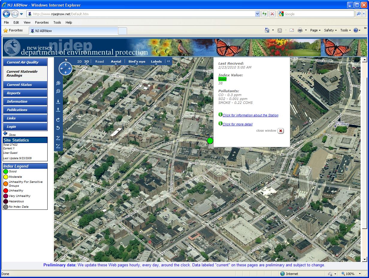
A GIS multi Vector (SHP) map can be displayed of the entire area covered by the environmental monitoring stations, Point, Polygon and Line SHP file supported. The Station location layer is a Point SHP vector map. The Software support also Microsoft Virtual Earth as Map Back ground.
The Virtual Earth platform is an integrated set of services that provides quality geospatial data; rich imagery, cutting-edge technology, and dependable performance that help organizations visualize data and provide immersive end-user experiences. This application is high- intelligent and multi – appearance way to display maps, including 3-dimensions, bird’s eye, very high zoom, search engine, traffic information and station’s parameters.
The stations display on the map can be shown by various symbols, that reflect wind, air quality index dots or bars. The user can move the mouse on top of each station and the station card will pop-up, letting to open station information screen with various utilities of data management.